
Synopsis
Nature didn’t quite change water into wine for us in our target area. Storms did develop east of Emporia, though.
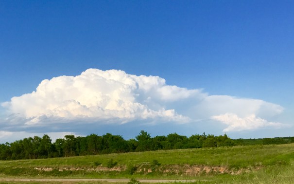
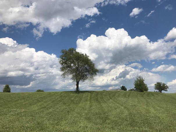
They were CAPE-starved, though, and although they started out as stout towers, they eventually became “mushy” and not particularly tall.
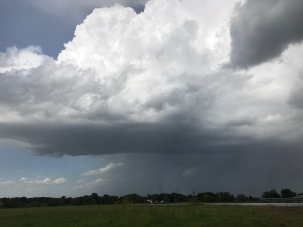
One cell initially had a very good look as it approached Louisberg, with an attempt at a wall-cloud. On radar, there was a weak couplet associated with this area of the storm, and we had hopes for it. But like the others before it, it’s supercellular motion (which should have been nearly from north to south) changed to translation with the mid level winds, as it lost its structure and rotational characteristics.

We have decided to call it a (brief) “chase” and are planning to depart from OKC tomorrow, 31 May.
Discussion
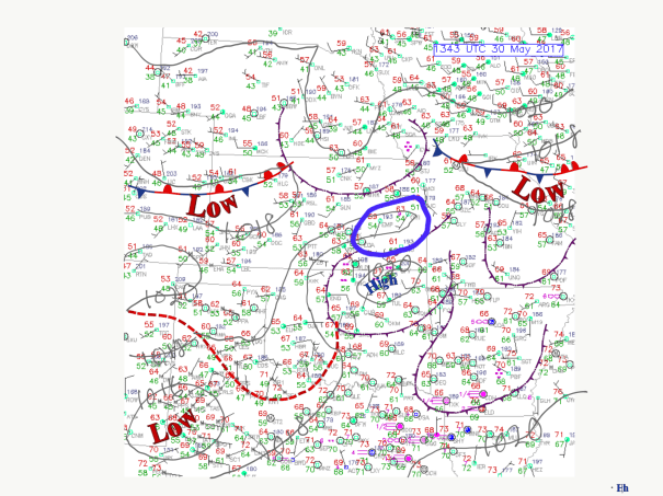
] The surface pattern in the area of east central KS expected to have favorable shear this afternoon is complicated by several outflow boundaries. One of those is over east turn portions of Oklahoma and the other is in north central Kansas. We are targeting the area south of Topeka in and around Emporia Kansas where the convection allowing models are initiating new storms around 3 PM Central daylight Time. The models are also showing isolated cells with rotation as as they move southward into east central Kansas.
The outflow boundary in southern Kansas really should be located in the trough evident in the isobars.
 .
.
